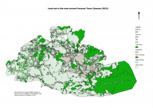
The Landuse of Coonoor region was derived from visual interpretation of Google Earth imagery and ground truthing. The imagery in Google Earth is from January 2012. We are not claiming accuracy of these layers as we are not experienced at remote sensing analysis. We have attempted this to get a general picture of the land use of the region. Please run your own checks before you use it. If you notice any errors, we would appreciate your feedback on the same in the comments section of this website.

